
File:A and Anderson in Elwood.jpg
預覽大小:800 × 600 像素。 其他解析度:320 × 240 像素 | 640 × 480 像素 | 1,024 × 768 像素 | 1,280 × 960 像素 | 2,560 × 1,920 像素 | 2,816 × 2,112 像素。
原始檔案 (2,816 × 2,112 像素,檔案大小:2.12 MB,MIME 類型:image/jpeg)
| 拍攝地點 | | 位於此地的本圖片與其他圖片: OpenStreetMap |
|---|
| 描述 |
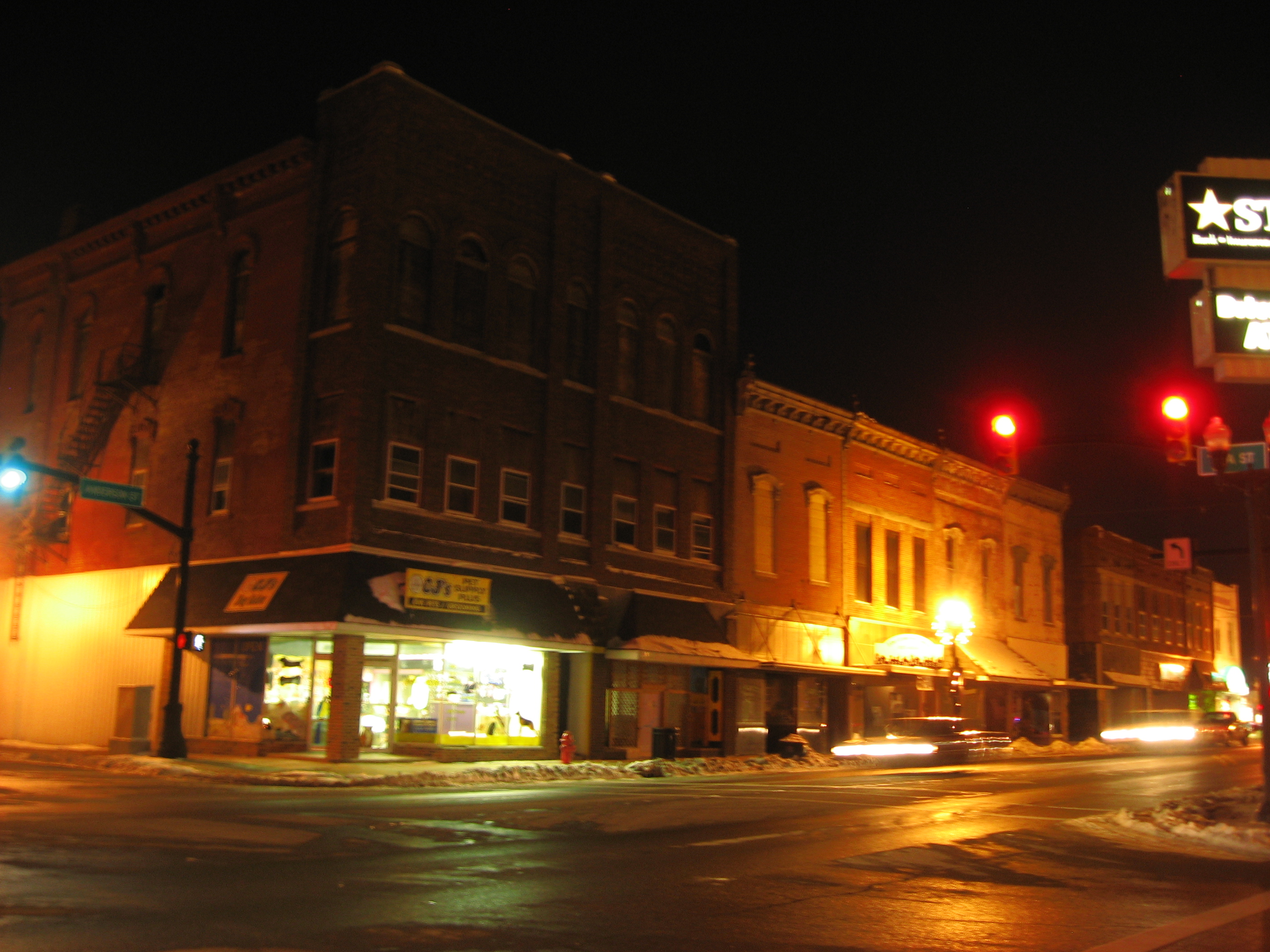
English: Buildings on the northwestern corner of the intersection of Anderson (State Road 13) and A Streets in central Elwood, Indiana, United States. These buildings are part of the Elwood Downtown Historic District, a historic district that is listed on the National Register of Historic Places. |
||
| 日期 | 攝於2011年1月14日 | ||
| 來源 | 自己的作品 | ||
| 作者 | Nyttend | ||
| 授權許可 (重用此檔案) |
|
檔案歷史
點選日期/時間以檢視該時間的檔案版本。
| 日期/時間 | 縮圖 | 尺寸 | 使用者 | 備註 | |
|---|---|---|---|---|---|
| 目前 | 2011年1月19日 (三) 15:12 | | 2,816 × 2,112(2.12 MB) | Nyttend | {{Location|40|16|33.5|N|85|50|31|W}} {{Information |Description={{en|Buildings on the northwestern corner of the intersection of Anderson ({{w|Indiana State Road 13|State Road 13}}) and A Streets in central {{w|Elwood, Indiana|Elwood}}, {{w|Indiana}}, {{w |
檔案用途
下列頁面有用到此檔案:
全域檔案使用狀況
以下其他 wiki 使用了這個檔案:
- ar.wikipedia.org 的使用狀況
- arz.wikipedia.org 的使用狀況
- azb.wikipedia.org 的使用狀況
- ca.wikipedia.org 的使用狀況
- ceb.wikipedia.org 的使用狀況
- ce.wikipedia.org 的使用狀況
- cy.wikipedia.org 的使用狀況
- dag.wikipedia.org 的使用狀況
- en.wikipedia.org 的使用狀況
- es.wikipedia.org 的使用狀況
- eu.wikipedia.org 的使用狀況
- fa.wikipedia.org 的使用狀況
- hi.wikipedia.org 的使用狀況
- ht.wikipedia.org 的使用狀況
- it.wikipedia.org 的使用狀況
- lld.wikipedia.org 的使用狀況
- no.wikipedia.org 的使用狀況
- pl.wikipedia.org 的使用狀況
- pt.wikipedia.org 的使用狀況
- sh.wikipedia.org 的使用狀況
- sr.wikipedia.org 的使用狀況
- tr.wikipedia.org 的使用狀況
- tt.wikipedia.org 的使用狀況
- uk.wikipedia.org 的使用狀況
- ur.wikipedia.org 的使用狀況
- uz.wikipedia.org 的使用狀況
- www.wikidata.org 的使用狀況
- zh-min-nan.wikipedia.org 的使用狀況