
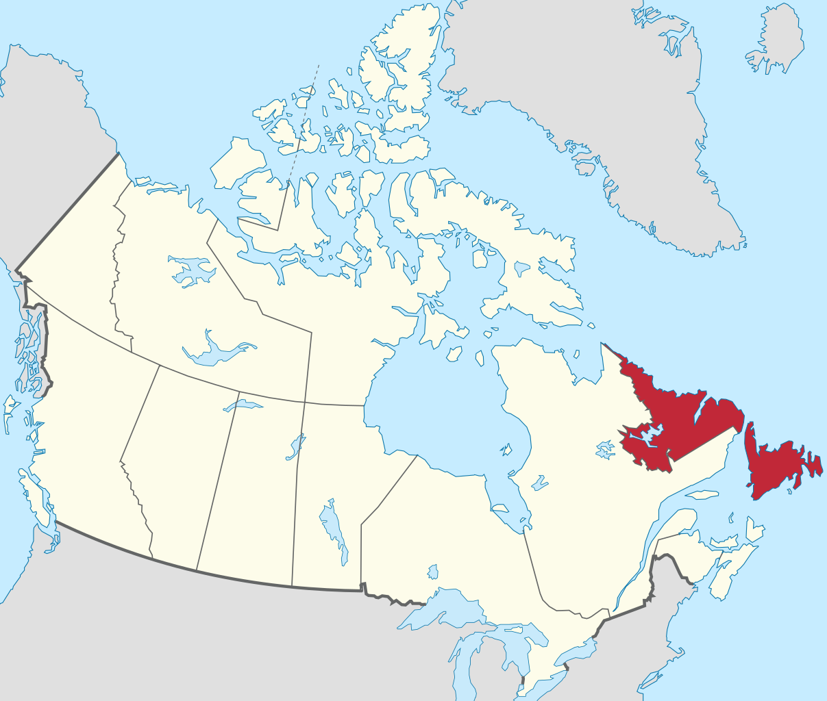
File:Newfoundland and Labrador in Canada.svg

此 SVG 檔案的 PNG 預覽的大小:706 × 599 像素。 其他解析度:283 × 240 像素 | 566 × 480 像素 | 905 × 768 像素 | 1,207 × 1,024 像素 | 2,413 × 2,048 像素 | 1,084 × 920 像素。
原始檔案 (SVG 檔案,表面大小:1,084 × 920 像素,檔案大小:212 KB)
檔案歷史
點選日期/時間以檢視該時間的檔案版本。
| 日期/時間 | 縮圖 | 尺寸 | 使用者 | 備註 | |
|---|---|---|---|---|---|
| 目前 | 2020年11月24日 (二) 07:56 | | 1,084 × 920(212 KB) | TUBS | Reverted to version as of 22:37, 30 July 2011 (UTC)>>> Unfortunately, due to to new size and scope of the map, you're breaking the imagemap and the desired location-administrative-locator maps congruence. Change all of them or none. |
| 2020年11月22日 (日) 23:31 |  | 1,114 × 942(269 KB) | MapGrid | New map that does not clip or truncate Lake Erie and Lake Michigan | |
| 2011年7月30日 (六) 22:37 |  | 1,084 × 920(212 KB) | TUBS |
檔案用途
全域檔案使用狀況
以下其他 wiki 使用了這個檔案:
- am.wikipedia.org 的使用狀況
- ang.wikipedia.org 的使用狀況
- bg.wikipedia.org 的使用狀況
- bn.wikipedia.org 的使用狀況
- bs.wikipedia.org 的使用狀況
- cdo.wikipedia.org 的使用狀況
- ceb.wikipedia.org 的使用狀況
- de.wikipedia.org 的使用狀況
- el.wikipedia.org 的使用狀況
- en.wikipedia.org 的使用狀況
- eo.wikivoyage.org 的使用狀況
- es.wikipedia.org 的使用狀況
- et.wikipedia.org 的使用狀況
- fa.wikipedia.org 的使用狀況
- fi.wikipedia.org 的使用狀況
- frr.wikipedia.org 的使用狀況
- fy.wikipedia.org 的使用狀況
- gv.wikipedia.org 的使用狀況
- he.wikipedia.org 的使用狀況
- hi.wikipedia.org 的使用狀況
- incubator.wikimedia.org 的使用狀況
- it.wikivoyage.org 的使用狀況
- ja.wikipedia.org 的使用狀況
- lb.wikipedia.org 的使用狀況
- li.wikipedia.org 的使用狀況
- lv.wikipedia.org 的使用狀況
- nl.wikipedia.org 的使用狀況
- no.wikipedia.org 的使用狀況
- os.wikipedia.org 的使用狀況
- pa.wikipedia.org 的使用狀況
- pt.wikipedia.org 的使用狀況
- pt.wiktionary.org 的使用狀況
- qu.wikipedia.org 的使用狀況
- sco.wikipedia.org 的使用狀況
- sk.wikipedia.org 的使用狀況
- sr.wikipedia.org 的使用狀況
- sv.wikipedia.org 的使用狀況
- tr.wikipedia.org 的使用狀況
- www.wikidata.org 的使用狀況